
Benicàssim · 20–21 July 2012
From train to beach to concert: Benicàssim in the summer of 2012
2 min · An independent festival keepsake
In Costa de Fuego’s announcement, station, beach and stage belonged to one proposed transport network. A special bus service was intended to join arrival points, accommodation and concerts. The festival of 20 and 21 July 2012 extended across a map of Benicàssim that began before the entrance to the grounds.

The organiser announced the service in collaboration with the urban operator. Places mentioned included Campfest, wristband collection, the RENFE station, the festival site and beaches. The list reveals the needs it sought to connect: arriving, collecting access credentials, settling in and moving during the stay.
A pass for several journeys
Published prices locate that historical offer. An unlimited-travel pass was advertised at €7.50 and a single ticket at €1.40. The journey from Castellón’s RENFE station to Benicàssim appeared at €2.80. The announcement also connected that route with the pass; without the full conditions, additional terms cannot be specified here.
These amounts do not describe a current service. Nor do they establish frequencies, waiting times or exact journeys between beach and concerts. The surviving information provides points and fares, enough to explain the advertised design without inventing a complete itinerary.
Bicycle hire was also proposed at Campfest. It added another way of moving around during the stay. The document provides no verified cycling route or proof that every attendee could use it for every journey. It does show accommodation being conceived in connection with the town.
Arriving by road
RafaBasa included directions via the AP-7, mentioning exits 45 and 46 as references from Barcelona and Valencia. The guide located the site beside the N-340. These are 2012 directions, useful to the event’s history rather than present-day navigation advice.
The radio supplied the other side of travelling: a warning about the previous day’s N-340 congestion and a request for patience from those still arriving. It specified neither duration nor a technical cause. The comment preserves the everyday fact of a festival some people were still trying to reach.
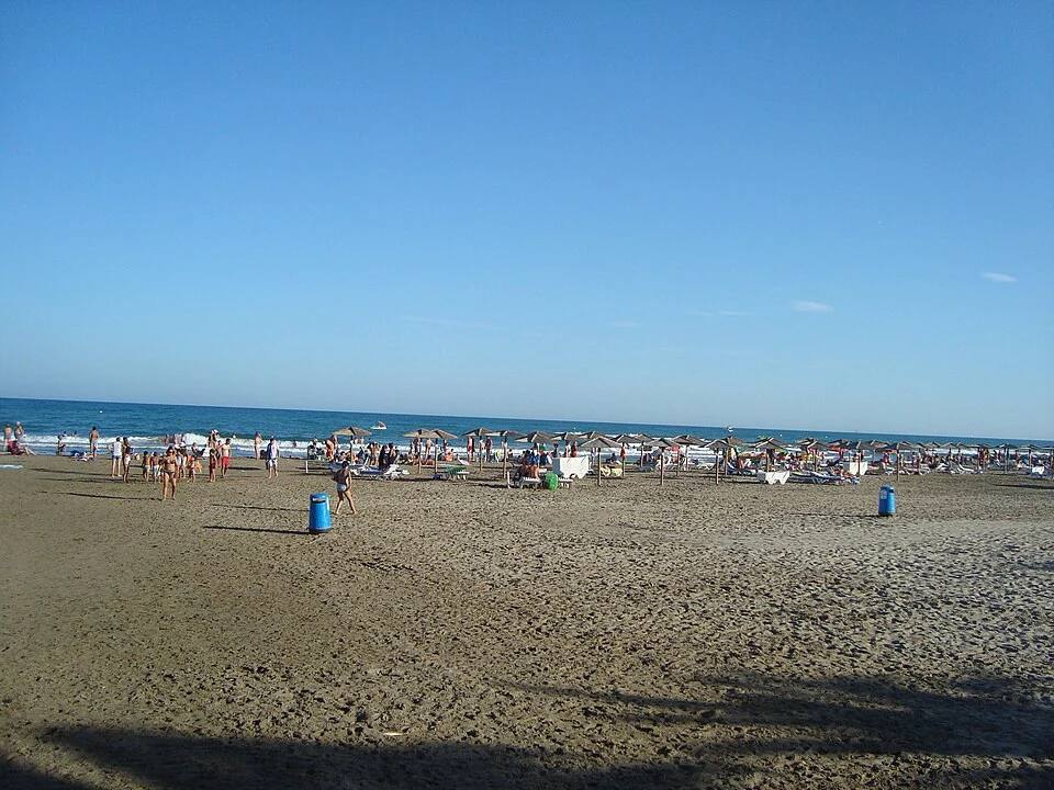
The Almadraba photograph dates from August 2012, after the concerts. It helps identify the coastal landscape in the same summer without presenting the beachgoers as festival attendees.
Costa de Fuego could be navigated between stages, but its practical map was larger. The advertised bus traced another route: a station, a wristband still to collect, somewhere to sleep and, later, music.

Sources behind this story
- Costa de Fuego · comunicado / press release 7 · Wayback Machine · transporte / transport
- RafaBasa · 20.07.2012
- Radio 3 · 21 July 2012 · 00:59:17–00:59:31